Pitch and Putt
FIELD: Reference cartography and management
DATE: February 2021
PLACE: Urnieta, Gipuzkoa
CUSTOMER: Pitch & Putt
PROJECT DEFINITION: Site analysis
SCOPE OF THE PROJECT
The Pitch & Putt course in Urnieta is the only “Natural” golf course in the Basque Country. The absence of irrigation facilities means that the course is managed using natural meadows and native grass species. As such, the course plays out using variable ‘vegetation lengths’ to distinguish between ‘Greens’, ‘Fair’ and ‘Shrubs’. It’s a pleasure and a challenge for any golfer.
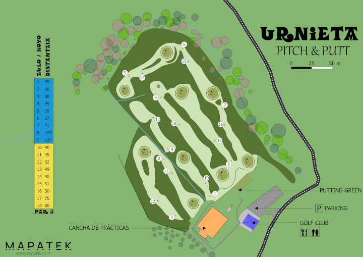
The aim of the project was to obtain a site map for marketing purposes, in addition to obtaining statistics that would facilitate the management of the vegetated area.

RESULTS
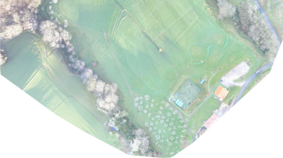
Aerial photography obtained from drone flights was used as the main source for digitizing the area and working on the map. The topographical information obtained during the flight opened up many possibilities to calculate course statistics (eg. course distance), along with terrain analysis information that included the identification of slopes, aspect, and vegetation surfaces.

Map of the study.
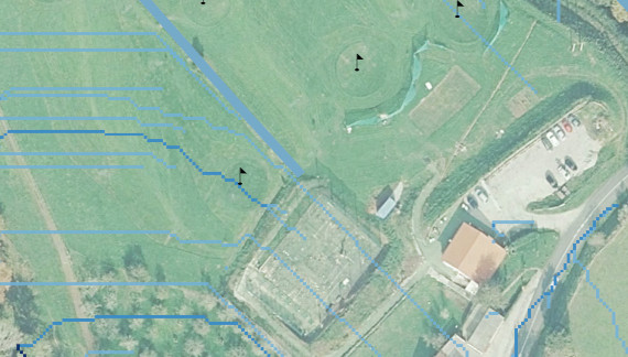
Being a ‘Natural’ golf course in a rainy climate, the greens manager was particularly interested in analyzing the the flow of rainwater along the course. In this case, the Strahler Order SAGA algorithm was applied to identify field drainage, which can then be used to improve effluent management to prevent excessive flooding of problematic areas.

12MP photogrammetric images with a GSD of 2 cm / pixel were taken of the couse. Stitching of orthophotos and the development of the digital terrain model (DTM) was undertaken using webodm. Cartographic production for marketing and communications, along with the site analysis were completed with QGIS. The information was contrasted with GeoEuskadi’s LiDAR data, which provided additional information to the customer, such as cadastral and land use plans.