a sector
in constant growth
sector
Customized mapping and spatial analysis solutions
Geospatial technology provides us with the information to know more today than yesterday and to respond to the problems of key sectors.
Landscape and architecture
Aerial photography provides a resource for CAD drawings, surveys, and ground analysis to study relief, shadow, and more.
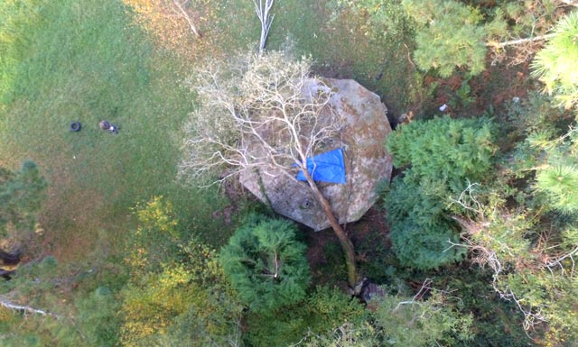
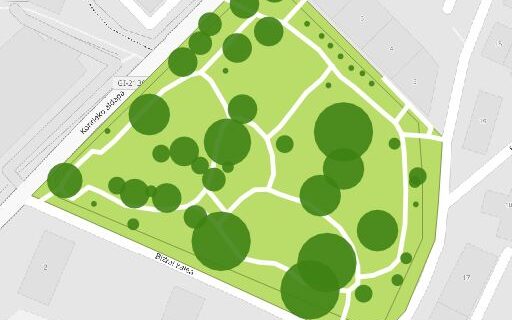
Arboriculture
Pathology and risk inspections without having to climb trees. Georeferenced photos generate historical data to support management.
Sport and tourism
Maps and plans of outdoor activities and aerial photographs for the planning and communication of spaces and events.
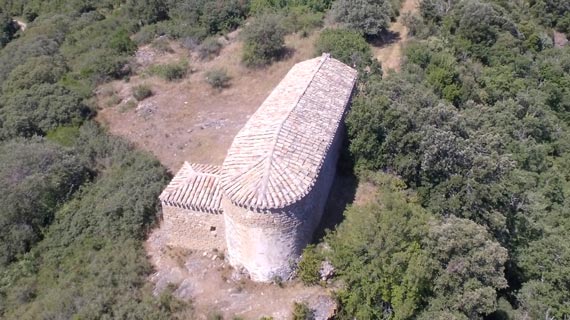
Natural and cultural heritage
It includes a visual representation of administrative documentation, or an analysis of research variables for natural environment and heritage projects.
Education, press and publications
Design of 2D maps for school curricula, journalistic projects, reports and scientific publications.
Maintenance and Management (CMMS)
Development of digital plans and tools for the comprehensive management of facilities, such as fire control, service networks, real estate, access control, etc.
Landscaping and architecture
We specialize in 2D curricular content maps and guidance plans. With the use of GIS, the maps provide visual material that highlights the messages of journalism projects, reports and scientific publications.
Arboriculture
The incorporation of aerial images and GIS allows the inventory and analysis of trees with their physical characteristics (age, height, etc.), health (pathologies, breaks), risk assessment and protection measures, as well as economic value. For risk and health studies, the use of LIDAR technology allows for high-precision measurements, while drone inspections offer an efficient solution to reduce the risks associated with climbing.
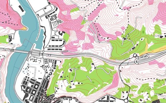
Sport, leisure and tourism
2D maps of routes and trails, sporting events, expeditions and leisure activities, as well as tourist maps of cities, parks or gardens. Plans and aerial photos with coordinates for use with GPS and as a tool for planning, marketing and communication.
Natural and cultural heritage
Valuation and conservation of natural and cultural heritage (geodiversity, protected areas, cultural elements, etc.) natural spaces, land management, flora and fauna, sectoral reports, reports …
Education, press and publications
We specialize in 2D curricular content maps and guidance plans. With the use of GIS, the maps provide visual material that highlights the messages of journalism projects, reports and scientific publications.
Maintenance and management
The incorporation of aerial imaging and GIS is commonly used for facility monitoring and analysis (access control, equipment location, hazardous material storage locations, fire prevention equipment, consumption monitoring, cost estimation and monitoring). of operations, use of spaces, emergency plans …)