we understand
geospatial data
about mapatek
Passion for maps, data visualization and analysis
Digital mapping and spatial solutions company. Specialization in the areas of landscape design, urban planning, architecture, education, tourism, maintenance and the natural environment.
We provide visualization and interpretation solutions using geospatial software, drones and terrestrial LIDAR.
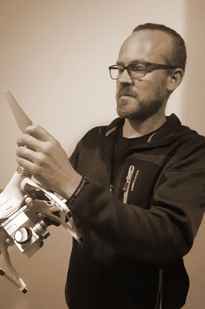
Andrew Rickard
GIS analyst and drone pilot
Founder of Mapatek. Postgraduate degree in Environmental Management and Master in Environment and Waste Management at the University of Melbourne (Australia). Extensive training in QGIS and more than 15 years of experience in the management of environmental projects and facilities management. He has the Advanced RPAS (drones) Pilot Certificate and is registered as an operator with AESA.
With an entrepreneurial spirit and a passion for the outdoors, he brings new perpectives to projects through the use of maps and the application of new technologies.

Gonzalo Tapia
Senior Surveyor and LIDAR Specialist