digital cartography
and geospatial solutions
mapatek
cartography + geospatial analysis
Digital mapping and geospatial solutions company specializing in the landscaping, urban planning, architecture, education, tourism, maintenance and natural environment sectors.
What do we do?
We work in different fields of digital cartography and provide geospatial solutions. We turn data into information through spatial analysis and transform your ideas into intuitive maps.
Maps
Creation of intuitive and attractive custom maps in various formats for brochures, books, presentations, industry reports and websites
LIDAR
Use of lidar scanners for the creation of high-precision documentation for technical projects.
spatial analysis
Use of GIS software (Geographic Information Systems) to organize and analyze layers of information for visualization and identification of spatial solutions
drone services
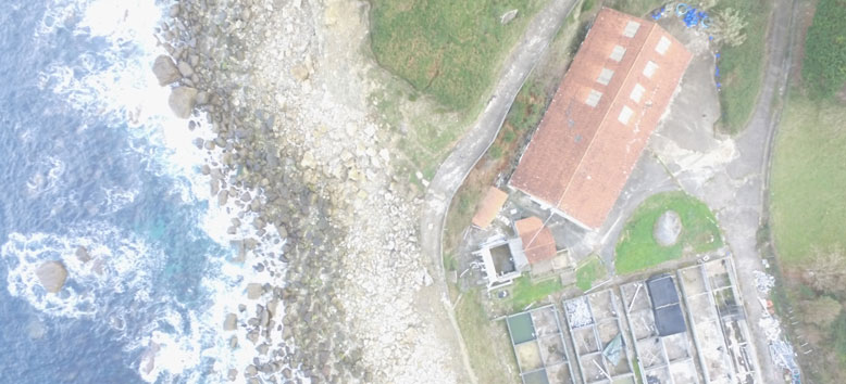
Use of drones to take high-definition aerial photographs, as well as to maps creation, topography and inspections.

Experts in new technologies
Data visualization and interpretation solutions with the use of geo-spatial software, drones and terrestrial LIDAR. We offer functional and analytical results.
“Know your world better”
landscaping and architecture
Aerial photos and lidar provide resources for CAD drawings and terrain analysis, such as slopes, casting shadows, and much more.
Arboriculture
The use of drones reduces the risks associated with access or pathology inspections, while GIS allows management through georeferenced inventories.
sport, leisure and tourism
Maps and plans for outdoor activities and aerial photos for the organization and communication of events.
natural and cultural heritage
Visual representation of administrative documentation, analysis of research variables of projects of the natural environment and heritage.
Education and publications
Design of 2D maps for the school curriculum, journalism projects, reports and scientific publications.
Maintenance and management
Preparation of plans and digital tools for integrated management of facilities, such as fire control, service networks, real estate, access control…
Industry sectors
Geospatial technology provides new insights, ideas and problem solving strategies to a variety of sectors. Know more today than yesterday.
